
Route data
Difficulty: Difficult
- Route number: 805
- Length: 82.88 km
- Duration: 13.41 Hours
- Height difference (+): 3149 m
- Height difference (-): 3149 m
- Difficulty:
- Technical skills:
- Physical effort:
- Landscape:
- Highest point: 1478 m
- Lowest point: 69 m
Leaving the Ronda Grande route at Malga Vigo, the Ronda Extrema continues to Cadregoni, Naone and Duson.
It will be the Adamello glacier that will stop even the most competitive bikers for a moment. Up there, at about 3500 meters of altitude, pages of history have been written related to the war events.
At Malga Valbona there is the highest point of the Ronda to overcome, Prà dei Muci, where on the adjacent ridge, is located the famous “Becco dell’Aquila”. Half of the Ronda is done, the trail passes from Pozza Bella on the same route as the Ronda Grande to Semont where, instead, the Grande continues downhill and the Extrema returns to ask for a last uphill effort to arrive at S. Giovanni’s church.
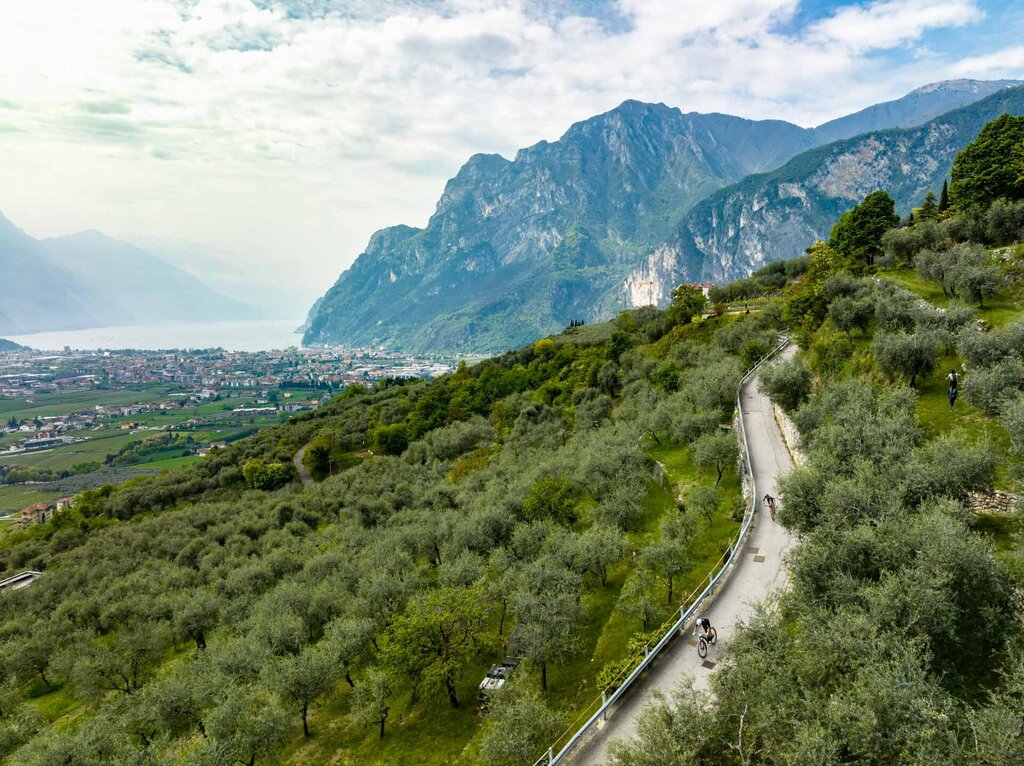
In Coste starts the downhill to La Selva, Dos del Clef and continues on the same final section of the Ronda Grande to the finish line in Riva del Garda.
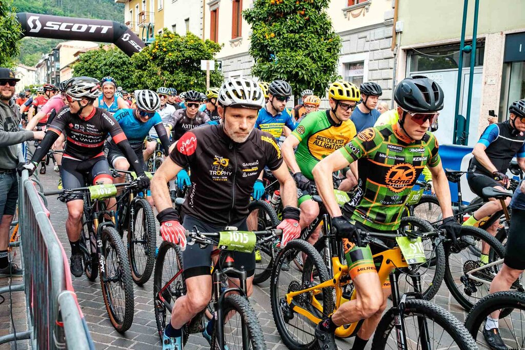
The Ronda Grande is recommended for ambitious and advanced bikers.
REGISTER NOW


How to get
The main towns in Garda Trentino - Riva del Garda, Arco, Torbole sul Garda, Nago – are connected by several urban and intercity bus lines which will take you to the starting point of tours or in the immediate surroundings.
You can also get to Riva del Garda and Torbole sul Garda by the public ferry service.
Up-to-date information on timetables and routes.
Safety guidelines
Safety Tips
- Always wear your helmet.
- Plan your ride.
- You share the trail with other users. Yield right of way to hikers.
- Let your speed be determined by your experience.
- Ride slowly on crowded trails, overtake with politeness and respect.
- Cycle only on authorized and open trails.
- Avoid muddy trails in order not to damage them further.
- Respect public and private property.
- Always be self-sufficient.
- Do not cycle solo in remote areas.
This information is subject to inevitable variations, so none of these indications are absolute. It is not entirely possible to avoid giving inexact or imprecise information, given how quickly environmental and weather conditions can change. For this reason, we decline any responsibility for changes which the user may encounter. In any case, it is advisable to check environment and weather conditions before setting out.