

Route data
Difficulty: Easy
- Route number:
- Length: 0 km
- Duration: 0 Hours
- Height difference (+): m
- Height difference (-): m
- Difficulty:
- Technical skills:
- Physical effort:
- Landscape:
- Highest point: m
- Lowest point: m
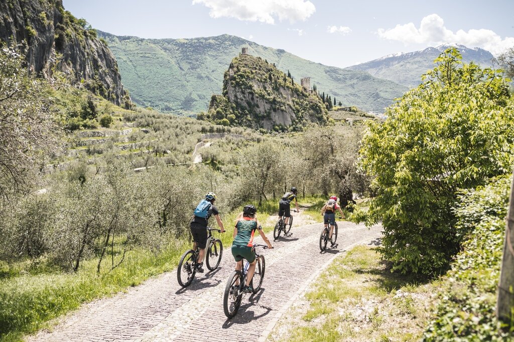
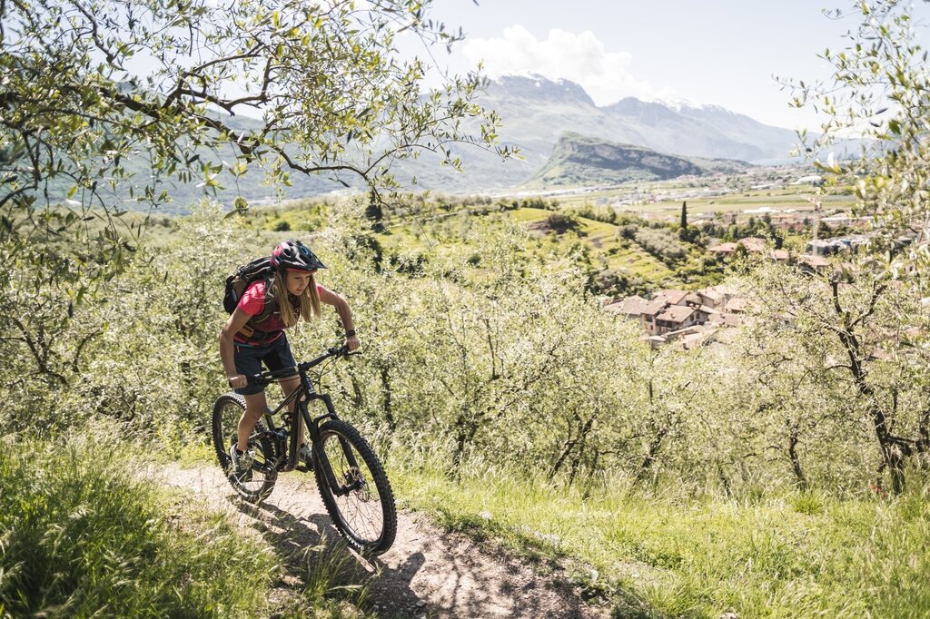
A pretty easy tour of 8.5 km and 200 m difference in level. It starts on the cycle path and then climbs, surrounded by olive trees, along secondary asphalt roads.
The slope is gradually increasing to even reach 30%, ideal therefore to appreciate the assistance of engines, but remember, to avoid unpleasant breakdowns in transmission, be prepared with not hard gears. The descent is on an old unpaved road, which crosses the main road to Lake Tenno in several places.
Pay close attention during the descent to the various crossings of the main road.